Howardian
Local Nature Reserve
|
|
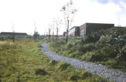
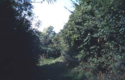
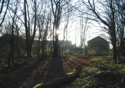
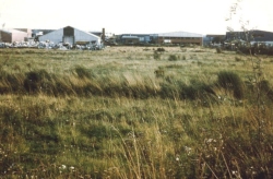
Photographs from the same viewpoints for 1974, 1994 & 2009
HOME
Click on an image for a close up
|
| 1974 |
1994 |
2009 |
 |
 |
 |
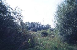
View from near Hammond Way signboard westwards towards Howardian High School upper school building.
The lower school (later demolished) is to the left. The staked trees are mostly Horse Chestnuts,
most remain today, surrounded by other plantings.
|
| | |
 |
 |
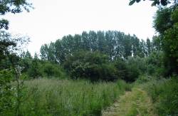 |
View from near the Hammond Way signboard south to Ipswich Road and the line of Poplars
transplanted from other areas of the Reserve during the years 1978 to 1981.
|
| | |
 |
 |
 |
|
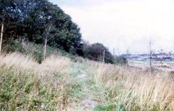
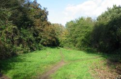
View eastwards down the butterfly ride. In the earlier photograph there are tall pile-drivers used to construct the foundations of what was to become the Whitbread distribution depot and later the David Lloyd Fitness Centre.
|
| | |
 |
 |
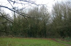 |
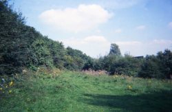
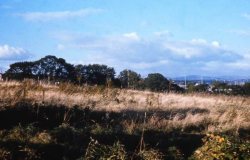
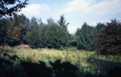
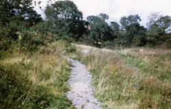
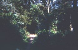
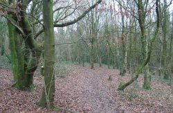
View northwards to what, in 1974, was the largest woodland area in the Reserve,
along the streams adjacent to Eastern Avenue.
|
| | |
 |
 |
 |
|
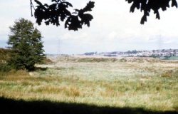
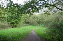
View northwards to woodland area taken closer to Eastern Avenue.
|
| | |
 |
 |
 |
|
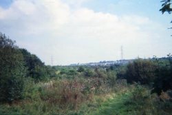
View eastwards from the top of Charlie’s View showing the raised tip which became infill for construction of Southern Way and lifted it up to the level of Llanedeyrn Interchange. The same two pylons can be seen in each photograph.
|
| | |
 |
 |
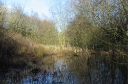 |
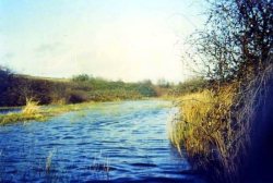
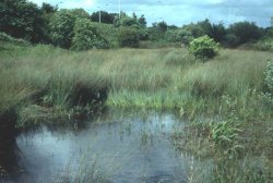
View roughly eastwards along the winter wetland, the earlier photograph after particularly heavy rainfall.
The embankment up to Eastern Avenue is on the left, with Llanedeyrn Interchange at the far end.

|
| | |
Howardian Local Nature Reserve
All photographs have been taken on the reserve © Friends of Howardian LNR
Back to top
|


